Add the missing fields to your property table from imagery.
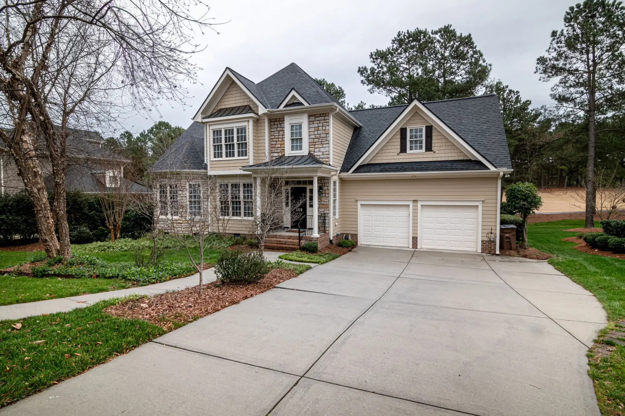
Driveway, garage, outbuilding, pool, tree cover and lot condition fields, appended to your records and keyed to your own property IDs.
The fields
One file of appended fields per pass, joined to your records on your own key. Each attribute comes back as a value or an explicit undetected, so a blank doesn't have to mean "no".
- Pool
- Outbuilding
- Tree cover
- Driveway
| Field | Format | What's in it | Cadence |
|---|---|---|---|
| Driveway | CSV or Parquet column | Whether a driveway is present, and a coarse surface class, paved or unpaved. Refreshed annually and joined on your property key. | Annual |
| Garage and outbuilding | CSV or Parquet column | Presence of an attached garage, presence of detached outbuildings, and a count of the outbuildings. Sheds, workshops and detached garages all land in the outbuilding count. Annual. | Annual |
| Pool | CSV or Parquet column | Presence of a pool on the lot. Annual. It is a yes, a no or an undetected, with the status column saying which. | Annual |
| Tree cover | CSV or Parquet column | A level of canopy over the lot, in a small number of bands. You get the band, not a percentage to the decimal. | Annual |
| Lot condition flag | CSV or Parquet column | A coarse flag for what the lot looks like from above, such as overgrown or cleared. It is a visual flag. It carries no score and no grade. | Annual |
| Detection status | CSV or Parquet column | For each attribute, whether it was read, found absent, or undetected because of shade, canopy or a poor pass. Your model can then tell absent from unknown, which a blank in the assessor roll never allowed. | Every pass |
| Match report | CSV | The property IDs that matched to imagery and the ones that did not, so the fill rate is a number you can state to your own reviewers. | Every pass |
How it works
- In
What you send
A property ID list with a coordinate or parcel reference for each record, plus the area the list covers. If your key is an APN, send it as it sits in your table.
- Process
What we do
Imagery for each parcel is pulled from the annual VHR pass. Each attribute is detected and classified per property, and anything the pass cannot show is marked undetected.
- Out
What comes back
The attribute file, the detection status per attribute and the match report, all keyed to your IDs and ready to join. Tell us the schema you load into and the column names can follow it, including RESO names where your feed uses them.
- Repeat
Next year
The same list is refreshed on the annual cycle, so the fields age at the same pace as the assessor roll.
Limits
These are the conditions that leave a field empty or wrong. Each one is flagged in the delivery, not guessed over.
| Limit | Condition | Effect on the output | In the delivery |
|---|---|---|---|
| Occlusion | Tree canopy or shadow over part of the lot. | A driveway, a shed or a pool edge may not be visible. | The attribute comes back undetected, not absent. |
| Cloud cover | A cloudy pass over a parcel. | That parcel can have no usable attributes for the cycle. | It is marked as a gap in the detection status and the match report. |
- 0.5 m is the floor
- At 0.5 m a pixel is about half a meter across. A pool or a house-sized garage covers plenty of pixels. A small shed or a hot tub may cover only a few and can be missed. Driveway surface is a coarse paved or unpaved call, not a material grade.
- Observation, not appraisal
- Fields report what is visible from above. Lot condition is a flag. Nothing here is a valuation, an inspection or a condition score.
- Annual imagery
- A pool built after the pass will not show until the next one. Cadence is a target, and capture dates follow the imagery.
Why these fields are blank in your table
Assessor rolls lag the ground, and listing feeds hold only what an agent typed. A pool dug last summer or a garage built after the last permit sits in neither one, and your valuation model reads the blank as "no". So a data team either pays someone to open aerial photos and fill the fields by hand, or leaves them empty across most of the portfolio and lives with the fill rate. When a feature underperforms, nobody can say whether the pool column is wrong or just empty.
Who it's for
- Data leads at property portals who want attribute fields on listing and property records without a manual photo review.
- Teams that own an AVM's feature set and need pool, garage, outbuilding and tree-cover fields with a known detection status.
- Data engineers who will join a vendor file to a property table on their own key.
Who it's not for
- Valuation, appraisal or condition scoring. These are observational fields.
- Interior features such as bedroom count or finishes. Imagery from above can't see them.
- Per-property inspection or insurance underwriting decisions on a single address.
- Parcel boundary or building footprint data. Bring your own.
Questions from data teams
Is this a condition or valuation rating?
No. The fields report what is visible: present, absent or a rough level. They are inputs to your model, not a score.
Are fields ever missing?
Yes. An attribute is undetected when canopy, shadow or a poor pass hides it, and the status column says so for each one.
What accuracy should we expect?
No blanket accuracy figure is published. Pull a sample, check it against records you trust and decide before full ingestion.
How do you match to our records?
On your own property key, whether that is an APN, a property ID or a coordinate. The match report lists what did not match.
What format does it arrive in?
A flat file, CSV or Parquet, with one row per property, ready to load into your warehouse. Tell us the schema you want and field names can follow it.
Does cloud cover cause gaps?
Yes. A cloudy pass over a parcel can leave it with no attributes for that cycle, flagged as a gap.
How often are fields refreshed?
Annually, on the same list.
Who owns the fields we get?
Use and ownership terms for the delivered fields are written into the contract before work starts. The imagery sources keep their own licences.
How is it priced?
Each portfolio is scoped and quoted on its own, from the size of the list and the area it covers. You get a written scope to take through procurement.
Send a sample of your property IDs and see what comes back.
Or ask about your record format in the .